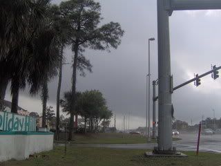
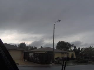
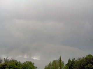
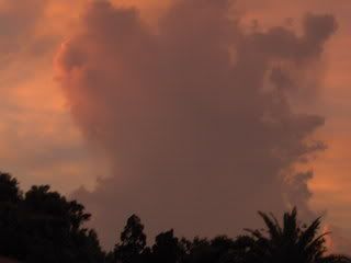
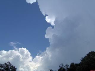
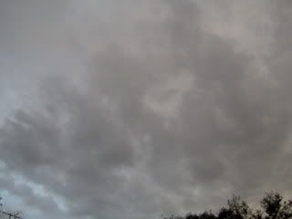
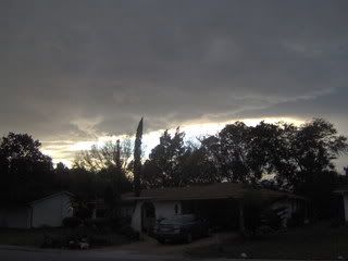
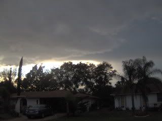
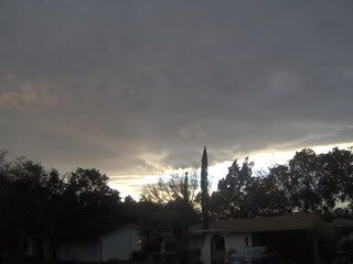
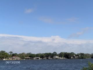
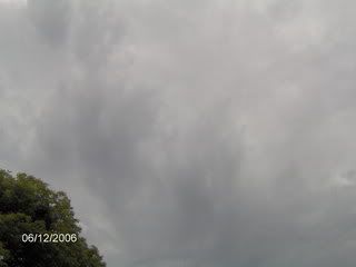
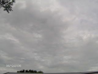
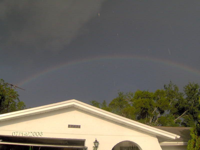
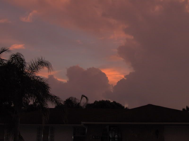
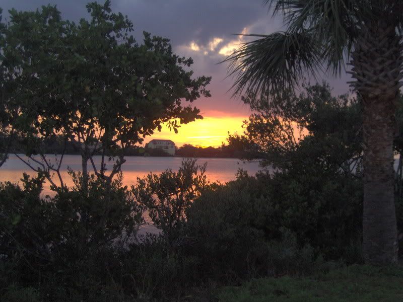
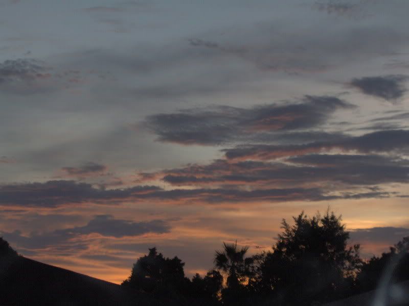
Wow !!!!! cheak this out.
Last night!!!!
Tornado Reports (in CSV format)
Time
Location
County
State
Lat
Lon
Comments
2005
1 N ATLANTA
LOGAN
IL
4026
8923
PUBLIC REPORT VIA LOGAN COUNTY EMERGENCY MANAGER. BRIEF TORNADO TOUCHDOWN...NO DAMAGE REPORTED. (ILX)
2019
2 SW MCLEAN
MCLEAN
IL
4030
8920
PUBLIC REPORT VIA EMERGENCY MANAGER OF BRIEF TORNADO TOUCHDOWN AT MILEPOST 143 ON INTERSTATE 55. (ILX)
2220
SILVERTON
BRISCOE
TX
3447
10130
TRAINED SPOTTER REPORTED TORNADO ON THE GROUND 10 MILES SOUTHWEST OF SILVERTON. (LUB)
2228
8 SW SILVERTON
BRISCOE
TX
3439
10140
TRAINED SPOTTER REPORTED A TORNADO 8 MILES SOUTHWEST OF SILVERTON ON THE GROUND FOR APPROXIMATELY FIVE MINUTES. (LUB)
2243
1 S SILVERTON
BRISCOE
TX
3446
10130
STORM CHASER REPORTED A TORNADO ON THE GROUND JUST SOUTH OF SILVERTON WITH PENNY SIZED HAIL. (LUB)
2257
1 S SILVERTON
BRISCOE
TX
3446
10130
TRAINED SPOTTER REPORTED TORNADO ON THE GROUND JUST SOUTH OF SILVERTON. (LUB)
2303
1 NE SILVERTON
BRISCOE
TX
3448
10129
TORNADO WAS REPORTED BY A STORM CHASER 1 MILE NORTHEAST OF SILVERTON. IT WAS 1/8 IN DIAMETER. (LUB)
2306
1 SE SOUTH PLAINS
FLOYD
TX
3421
10130
TORNADO REPORTED JUST SOUTHEAST OF SOUTH PLAINS. AN ABANDONED HOME WAS DESTROYED BY THE TORNADO. (LUB)
2335
10 N QUITAQUE
BRISCOE
TX
3451
10106
TORNADO REPORTED ON THE GROUND NEAR OR AT CAPROCK CANYON PARK AT 635 PM CDT. (LUB)
2343
12 SW BRICE
BRISCOE
TX
3459
10104
STORM CHASER REPORTED A TORNADO ON THE GROUND 12 MILES SOUTHWEST OF BRICE AT 643 PM CDT. (LUB)
2352
2 SE SHARON SPRINGS
WALLACE
KS
3887
10173
BRIEF TOUCH-DOWN (GLD)
2354
15 N TURKEY
HALL
TX
3461
10090
STORM CHASER REPORTED A TORNADO ON THE GROUND 15 MILES NORTH OF TURKEY. (LUB)
0005
3 NE SHARON SPRINGS
WALLACE
KS
3892
10171
(GLD)
0012
20 S MERRIMAN
CHERRY
NE
4263
10170
(LBF)
0012
20 SW MERRIMAN
CHERRY
NE
4272
10198
UPDATED INFORMATION ON TORNADO WHICH WAS 20 S OF MERRIMAN. LATEST INFORMATION...TORNADO 2 WEST OF MORGAN LAKE...150 TO 200 YARDS WIDE. TORNADO MOVED NORTHEAST AND TOOK (LBF)
0021
12 E DRESDEN
DECATUR
KS
3962
10019
(GLD)
0023
6 E BOOKER
LIPSCOMB
TX
3646
10043
REPORTED BY BOOKER FIRE DEPARTMENT (AMA)
0023
1 E JENNINGS
DECATUR
KS
3968
10028
(GLD)
0028
2 SE MEADE
MEADE
KS
3726
10031
BRIEF TORNADO TOUCHDOWN 2SE OF MEADE (DDC)
0030
2 E ELMWOOD
BEAVER
OK
3662
10048
*** 2 FATAL *** (AMA)
0037
3 SE ELMWOOD
BEAVER
OK
3659
10048
RELAYED BY MEDIA - TORNADO DEBRIS REPORTED (AMA)
0044
3 NE MEADE
MEADE
KS
3732
10030
TORNADO OBSERVED BETWEEN MEADE AND FOWLER (DDC)
0049
3 SE GOODLAND
SHERMAN
KS
3932
10167
(GLD)
0050
6 SW CLARENDON
DONLEY
TX
3488
10097
(AMA)
0050
6 SW AMARILLO
RANDALL
TX
3514
10189
(AMA)
0052
4 NNW FOWLER
MEADE
KS
3744
10022
TORNADO TOUCHDOWN...DEBRIS OBSERVED ON THE GROUND. (DDC)
0055
1 E JERICHO
GRAY
TX
3519
10091
18 WHEELERS FLIPPED BY TORNADO AT REST STOP ON INTERSTATE 40. (AMA)
0100
9 N FOWLER
FORD
KS
3751
10020
TORNADO ON GRAY COUNTY LINE AT 800PM. (DDC)
0100
14 NNW ARTHUR
GRANT
NE
4176
10180
TORNADO ON GROUND FOR 30 MINUTES FROM 800 PM TO 830 PM CDT. NO DAMAGE REPORTED. (LBF)
0102
5 E MONTEZUMA
GRAY
KS
3760
10035
TORNADO AT 24/CC ROAD AT 802PM (DDC)
0103
9 SSW GRANT
PERKINS
NE
4072
10179
MULTIPLE TORNADO TOUCHDOWN REPORTS NEAR CHASE AND PERKINS COUNTY LINE (LBF)
0105
5 WSW TRIBUNE
GREELEY
KS
3844
10184
(GLD)
0105
10 WNW IMPERIAL
CHASE
NE
4057
10181
BRIEF TOUCHDOWN (LBF)
0105
10 WSW ARTHUR
ARTHUR
NE
4152
10187
TORNADO ON THE GROUND (LBF)
0108
5 E GOODLAND
SHERMAN
KS
3935
10162
(GLD)
0110
4 W GRANT
PERKINS
NE
4084
10180
MULTI REPORTS OF BRIEF TORNADO TOUCHDOWNS 4 WEST OF GRANT TO COUNTY LINE. (LBF)
0112
5 N COOLIDGE
HAMILTON
KS
3811
10201
(DDC)
0112
10 SW NESS CITY
NESS
KS
3835
10004
TORNADO ON THE GROUND MOVING NORTH (DDC)
0112
5 S TRIBUNE
GREELEY
KS
3840
10175
(GLD)
0112
10 S GRANT
CHASE
NE
4070
10173
TORNADO REPORTED ON CHASE/PERKINS COUNTY LINE (LBF)
0115
8 NE GOODLAND
SHERMAN
KS
3943
10160
(GLD)
0122
7 SW GRANT
PERKINS
NE
4077
10182
2 TORNADOES ON GROUND. ONE LARGE CONE AND ANOTHER SMALLER TORNADO. HEADING NORTH EAST. (LBF)
0124
2 S MCLEAN
GRAY
TX
3520
10060
(AMA)
0125
3 N ENSIGN
GRAY
KS
3770
10023
LARGE TORNADO ON THE GROUND (DDC)
0130
9 S BIRD CITY
CHEYENNE
KS
3962
10153
LARGE WEDGE (GLD)
0133
6 NW GRANT
PERKINS
NE
4091
10181
SPOTTERS REPORT A HALF MILE TO MILE WIDE TORNADO 6 MILES NORTHWEST OF GRANT. MOVING TO THE NORTHWEST. (LBF)
0140
12 NW TRIBUNE
GREELEY
KS
3859
10191
LAW ENFORCEMENT REPORTS TORNADO CROSSING COUNTY LINE (GLD)
0144
9 SE BRULE
KEITH
NE
4100
10177
INTERMITTENT TORNADO TOUCHDOWNS NEAR THE KEITH-PERKINS COUNTY LINE 3 MILES WEST OF HIGHWAY 61. NUMEROUS REPORTS THIS LOCATION. (LBF)
0152
1 E BIRD CITY
CHEYENNE
KS
3975
10151
DESCRIBED BY MEDIA AS 1/2 MILE WIDE TORNADO WITH POWER FLASHES. VIEWED FROM 2 MILES SOUTH OF MCDONALD LOOKING WEST TOWARD BIRD CITY (GLD)
0157
1 S HOLLY
PROWERS
CO
3804
10212
LAW ENFORCEMENT RELAYED A PUBLIC REPORT OF A TORNADO 1 MILE SOUTH OF HOLLY. (PUB)
0210
1 S MOBEETIE
WHEELER
TX
3552
10044
(AMA)
0211
HOLLY
PROWERS
CO
3806
10212
LAW ENFORCEMENT RELAYED PUBLIC REPORTS OF A LARGE TORNADO IN HOLLY. (PUB)
0211
1 SW OGALLALA
KEITH
NE
4112
10173
TORNADO ON GROUND ON SW EDGE OF OGALLALA. POWER FLASHES. BECAM RAIN WRAPPED AT 2116. (LBF)
0217
14 NW JETMORE
HODGEMAN
KS
3823
10008
LARGE TORNADO SPOTTED ON THE GROUND (DDC)
0219
1 NW MOBEETIE
WHEELER
TX
3554
10045
(AMA)
0222
13 SE SHERIDAN LAKE
KIOWA
CO
3833
10212
SPOTTER RELAYED PUBLIC REPORT OF TORNADO 13-14 MILES SOUTHEAST OF SHERIDAN LAKE. (PUB)
0226
2 E EDSON
SHERMAN
KS
3933
10150
TORNADO REPORTED WITH TRANSFORMER FLASHES (GLD)
0233
8 N MOBEETIE
HEMPHILL
TX
3565
10044
REPORTED BY WHEELER CO. EMERGENCY MANAGEMENT (AMA)
0242
10 SW NESS CITY
NESS
KS
3835
10004
TORNADO ON THE GROUND MOVING NORTH (DDC)
0245
3 E TOWNER
GREELEY
KS
3847
10202
AT THE GREELY CO. LINE AT HIGHWAY 96 (GLD)
0250
15 NW TRIBUNE
GREELEY
KS
3862
10195
(GLD)
0254
NE EDSON
SHERMAN
KS
3933
10154
(GLD)
0310
5 SE ARAPAHOE
CHEYENNE
CO
3880
10210
(GLD)
0313
7 S WESKAN
WALLACE
KS
3876
10196
(GLD)
0332
SE BIRD CITY
CHEYENNE
KS
3975
10153
(GLD)
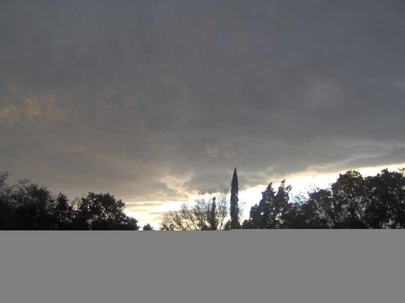
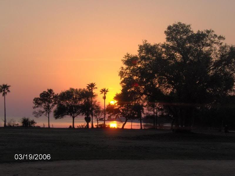
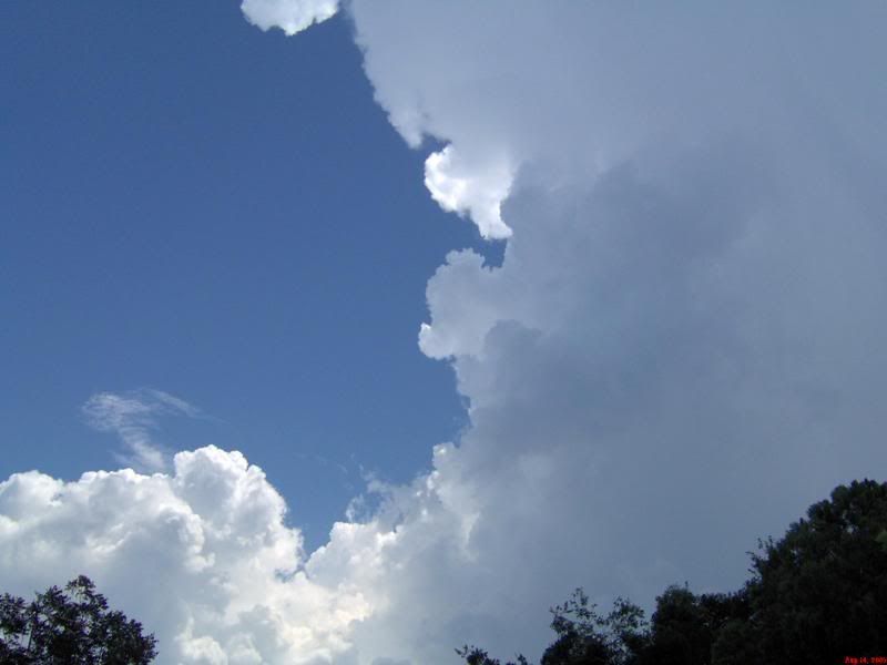
Cheak out dewdrops and jeff gammons site for more info.