Showing posts with label sunset pictures. Show all posts

Thursday, October 23, 2008

sky watch #18


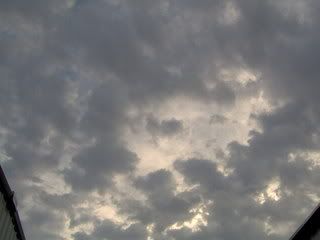
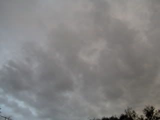
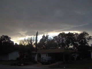
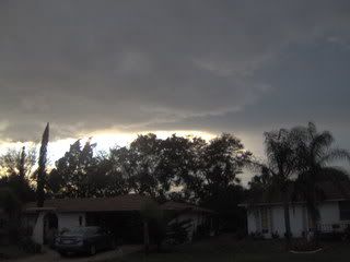
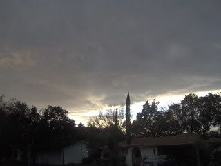
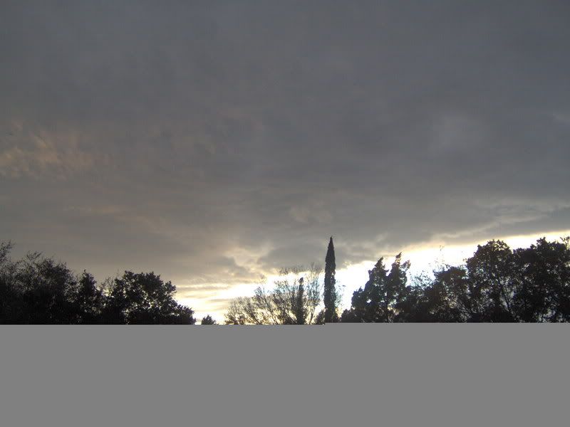
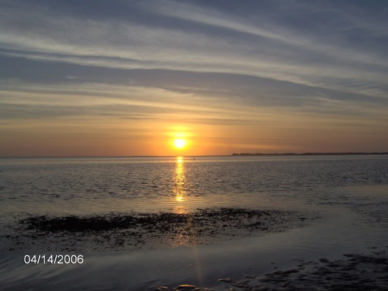
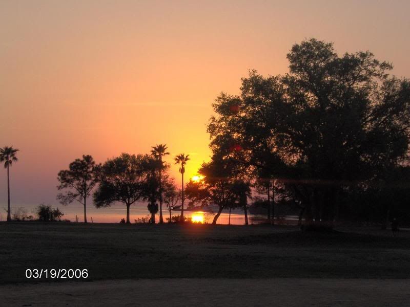
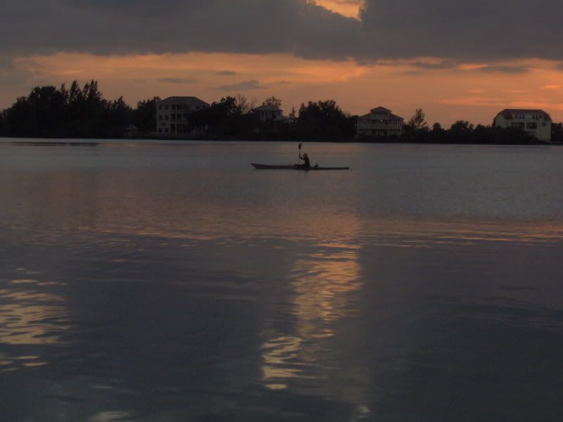
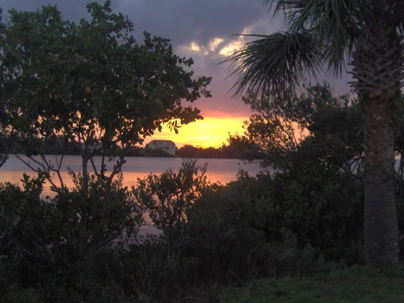
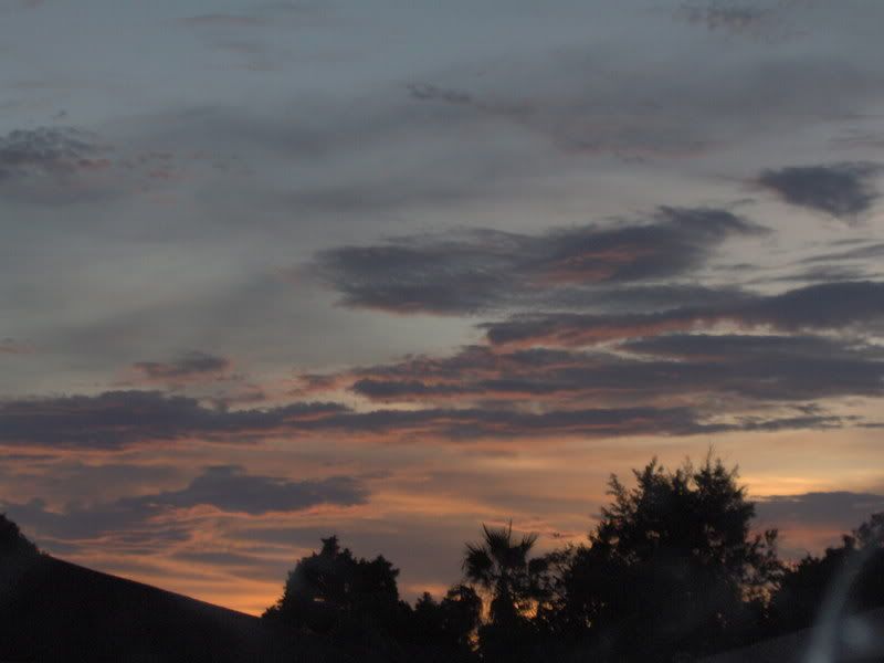
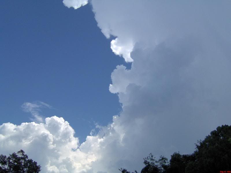
Yup another sunset sky watch, I just cant help myself. We went to Port Richey waterfront park yesterday for dinner -Burgers and chips- And I took 87 pictures while I was there. My hub asks why I take so many pictures and I tell him today will be gone tomorrow but I have it forever at a touch of a button. Make sense? I think so.
Happy sky watching!!!
Jess
Sunset Stalker

Tuesday, September 23, 2008

Summer is gone an autumn is here


It feels like fall is in the air, nice breeze and what i thought was dryer air. The humity is still at 85% which if you felt the air here you would be surprized too. Dry air is moving in and tonight our low goes down to a nice 71 degrees. I wonder if i will be able to convince hubby to turn off the ac tonight. Yesterday we should of saw some rain with the blob that was out in the gulf but as usual it went north and south of us and all we got here was a couple of sprinkles. Today the rain will mostly be south of Pasco...of course. 93L still hasn't changed much but NOAA is saying it could become a depression any day now. This will not effect Florida,here is a look at the spaghetti models.

Looks like this could be a fish storm.
Or not.
This is from Dr.Jeff Master wonder blog:
The track forecast
The models agree on a slow west-northwesterly motion for 93L today, with a turn to the northwest or north-northwest on Tuesday. An extratropical storm is expected to develop off the coast of South Carolina by Wednesday, and five of our six reliable models predict that 93L and the extratropical storm will rotate cyclonically around a common center (the Fujiwhara effect), sending 93L hurtling into the U.S. East Coast on Friday somewhere between North Carolina and Massachusetts. The outlier is the UKMET model, which predicts that 93L will absorb the energy that would have gone into creating the extratropical low. This might convert 93L into a hybrid subtropical storm that would affect the coast of North and South Carolina late this week with sustained winds in the 50-60 mph range. Considering that we are trying to forecast a complicated interaction between two storms that have yet to form, the current model forecasts for 93L are highly uncertain. Residents along the entire U.S. East Coast from Georgia to Maine should anticipate the possibility of a strong tropical storm affecting them by Friday.Wow!
I love his Blog he is such a smart man. for some reason I cant insert links right now but his blog is to the left. Thats it for me, have a great day!
Jess
Cloud Stalker

Wednesday, September 17, 2008

Summer days drifting away/more on Ike after math

yesterday evening was so nice, the breeze the sky. I am enjoying these last nights of summer. I know I know I am in Florida just because Fall is next Monday doesn't mean a thing our nights will continue to be warm for awhile yet. Still I love sitting out front watching my son ride his bike.

Watching the beautiful sky as the sun goes down.


I have a couple more really good shots but i am saving them for sky watch tomorrow.

I can't stop thinking about Ike and the Bolivar Peninsula,I just can't believe how many people stayed. It just boggles my mind. Why? is all I keep asking myself. I mean I want to chase Hurricane one day, but when Noaa says "certain Death will happen if you dont leave the coast" I am gone...See ya....later dudes... 400 people chose to ride it out, do you think they survided? Look down at the picture below and then check out the link and you tell me. Stupid just plain stupid.

Dr. Abby Sallenger, Jr. of the USGS described yesterday's damage survey flight:

Here's what we saw in our overflight from about Grand Chenier in western Louisiana to Freeport below Galveston.

We saw vast areas flooded by storm surge; the water extended landward in places for tens of kilometers. The beaches served as rims that contained the flood waters. In Louisiana, channels were cut (naturally) through the beaches so the water would drain seaward. Where the max surge occurred (between Bolivar Peninsula and Sabine Pass), the returning water completely submerged the Gulf shore for kilometers. The maximum impacts were on the Bolivar Peninsula, the site of our example comparisons online now.
Source-USGS
Check out the link for more photos and more information on this horrific event.

It looks like we will have a lull for storms in the alantic right now but I bet it wont last long, by next week check back with me and I bet I will have something to talk about.
Gotta go for now take care and God Bless!
Jess Cloud Stalker
If you want to make a donation to hurricane Ike victims here is a the link to the red cross

Tuesday, November 13, 2007

loving the Florida weather


Love being in Florida weather, yes indeed! 80* in the day mid 60s a night, Cant beat it. The Dry season is upon us and it doesn't it even seem we had a wet season.
And the way it seems we are doomed by a dry winter this year, so they say. I have seen some great winter storms with the cold front sliding down and the tropical warm air hitting it just right, my kind of weather there.
You might think i'm crazy but i am definitely one the those kind of people who want to be right there, Being in the TIV vehicle would be "THE BOMB". Yes indeed if ever i am giving the chance I would do it in a heart beat!
Extreme baby!! Many years from now when I have way more experience you bet I will try to get as close as i can and film the heck out of it!!
But it will be on my own forecasting I would never steal a storm from another. The chase is all about the forecasting that's what it makes the chase, I was only a guest of chasers I myself haven't had a real chase all my footage is based on Peggy and Melanie's forecasting. I will chase you can bet your sweet petunia's on that!

Weather wise look for the same kinda weather till Friday we have another cold front coming down rain chances are low with it but its look to get quite chilly. No beachen this weekend.Well time to hit the hay have a good week!!
Jess

Wednesday, September 19, 2007

...SPECIAL FEATURE...

...SPECIAL FEATURE...
A WEAK SURFACE LOW PRESSURE AREA AND A UPPER-LEVEL LOW NEAR THE
FLORIDA PENINSULA ARE PRODUCING A LARGE AREA OF DISTURBED
WEATHER OVER THE WESTERN ATLANTIC...NORTHERN BAHAMAS...AND THE
EAST COAST OF FLORIDA. THERE ARE NO SIGNS OF ORGANIZATION AT
THIS TIME. HOWEVER...SURFACE PRESSURES ARE SLOWLY FALLING AND
ENVIRONMENTAL CONDITIONS APPEAR FAVORABLE FOR A SUBTROPICAL OR A
TROPICAL CYCLONE TO FORM OVER THE NEXT DAY OR TWO...AS THE
DISTURBANCE MOVES WESTWARD OVER FLORIDA AND INTO THE GULF OF
MEXICO. REGARDLESS OF DEVELOPMENT...THIS SYSTEM WILL LIKELY
BRING SHOWERS...SQUALLS...AND LOCALLY HEAVY RAINS OVER PORTION
OF FLORIDA DURING THE NEXT DAY OR TWO. MOSAIC DOPPLER RADAR FROM
THE SE US SHOWS SCATTERED TO NUMEROUS SHOWERS WITH EMBEDDED
TSTMS ROTATING CYCLONICALLY MAINLY OVER NORTH-CENTRAL FLORIDA.
SCATTERED SHOWERS ARE ALONG SOUTH FLORIDA EAST COAST
.


Wednesday, today Happy hump day its all down hill now.
The skies have been beautiful this week now i have a special interest 93l east of my state and its looks to go right over my area to find his strength in the gulf.
Weather is so complex, I think that's what i like about it so much .its like cooking you need just the right ingredients to make it all come together. the Low pressure is practically sitting right on top of my area and the tropical wave is off the east coast as the low pushes away it will bring the wave and once its in the gulf its anyone's ballgame. so will this be Tropical or sub tropical ether way it will be a learning lesson for me and fun to watch plus the cloud action should be amazing!
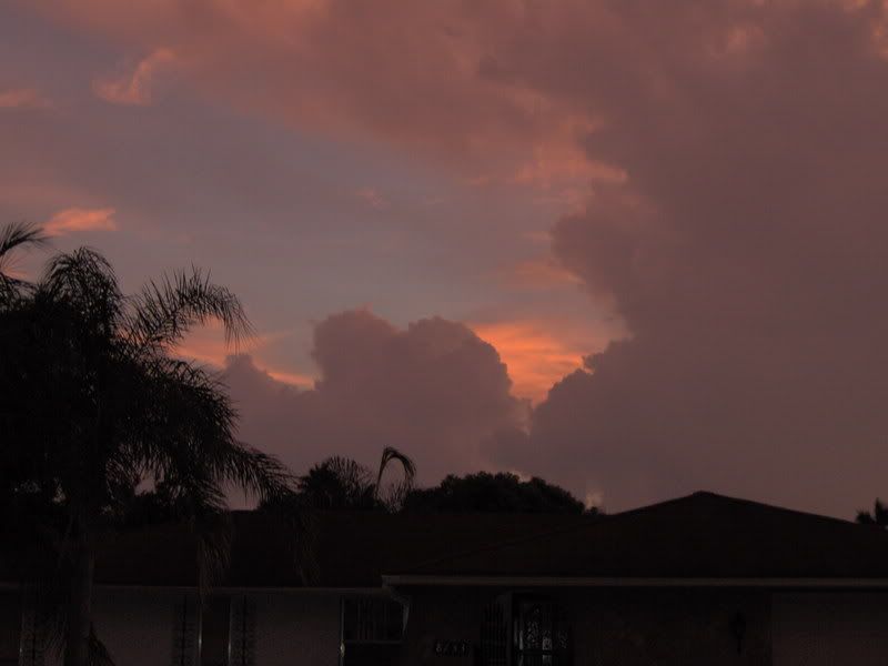
I chose some of my favorite pictures of the sky i took this week to share, i hope you enjoy.


Keep your eyes to the sky.....JESS

Saturday, September 8, 2007

felix gone but sub tropical Gaberial hangs close to Nc/Sc coast


Two days off in a row and no fun weather,I've been keeping an eye on sub tropical storm Gabriel, still disorganized but it will bring much needed rain to the east coast!! I'm getting a little nervous we are in our half way mark for the rainy season and we still our way below the normal mark, we really need to to see some rain over here on the west coast(central)Friday we received .25" Summer showers. I used o love those when i was a kid....Wait I still do!! Who doesn't like to play in the rain!!
I just hope we see more before the dry season returns.
I do have to admit I am looking forward to some cooler air, I love the change of seasons!!
This is from the SERT homepage:


The area of low pressure located between Bermuda and the southeastern U.S. coast continues to become better organized. Air Force Reserve Hurricane Hunter aircraft currently investigating the system have not yet found a well-defined closed center of circulation. However, upper level shearing winds have weakened over the past 24 hours, meaning that the environment surrounding the system has become more favorable for development. Thunderstorm activity has also become more concentrated since Thursday. The disturbance will likely become a tropical or subtropical cyclone within the next 12-24 hours as it meanders slowly westward or west-northwestward over the warm waters of the Gulf Stream. Due to its proximity to the coast, tropical storm watches could be issued as early as this evening. Forecast models usually do not handle weak tropical systems well, but current models show the disturbance continuing to drift west-northwestward toward the Carolina's and mid-Atlantic coast during the next 2-3 days.
At present, this system poses no threat to Florida; however, strong northeasterly winds along the west side of the disturbance will generate ocean swells that will lead to a high threat of rip currents this weekend along the southeast Florida coast beaches. Additionally, there will also be a moderate risk of rip currents along the panhandle and Big Bend coast on Friday. Beach goers should check with local lifeguards or beach patrol and heed any warning flags or signs.

Unsettled weather associated with a trough of low pressure will spread over south Florida this weekend. Rain chances will gradually increase on Saturday and especially into Sunday as the trough lifts northwestward, bringing an abundant supply of moisture to the southern peninsula. With deep tropical moisture in place, locally heavy rainfall will be a potential threat on Sunday across the region.

Meanwhile, high pressure over the southeastern U.S. should keep north Florida mostly dry through the upcoming weekend. Rain chances may increase slightly by Sunday, with a few coastal showers during the morning hours and mainly isolated showers and thunderstorms during the afternoon and evening. With moisture levels forecast to gradually increase by late in the weekend, rain chances should return to more seasonal levels by the first half of next week.

Temperatures this weekend will be in the upper 80s to low 90s along the coast, with middle 90s expected in inland locations. Drier air and lower humidity associated with northerly flow around the area of low pressure in the Atlantic are expected to keep heat indices around 100 degrees or lower across the northern tier of the state.

Elsewhere in the tropics, disorganized showers and thunderstorms associated with a trough of low pressure extend from southern Louisiana to Cuba. While upper-level winds across the Gulf of Mexico remain favorable, any development should be slow to occur.
AVILA SAYS


Issued at 530 AM EDT SAT SEP 8 2007
Atlantic Tropical Weather Outlook
000 ABNT20 KNHC 080907 TWOAT TROPICAL WEATHER OUTLOOK NWS TPC/NATIONAL HURRICANE CENTER MIAMI FL 530 AM EDT SAT SEP 8 2007 FOR THE NORTH ATLANTIC...CARIBBEAN SEA AND THE GULF OF MEXICO... THE NATIONAL HURRICANE CENTER IS ISSUING ADVISORIES ON SUBTROPICAL STORM GABRIELLE LOCATED ABOUT 315 MILES SOUTHEAST OF CAPE LOOKOUT NORTH CAROLINA. A TROPICAL WAVE LOCATED A FEW HUNDRED MILES SOUTHWEST OF THE CAPE VERDE ISLANDS IS PRODUCING A LARGE AREA OF CLOUDINESS AND THUNDERSTORMS. THIS SYSTEM HAS THE POTENTIAL FOR SOME DEVELOPMENT DURING THE NEXT FEW DAYS AS IT MOVES WESTWARD AT ABOUT 15 MPH. ELSEWHERE...TROPICAL CYCLONE FORMATION IS NOT EXPECTED DURING THE NEXT 48 HOURS. PUBLIC ADVISORIES ON SUBTROPICAL STORM GABRIELLE ARE ISSUED UNDER WMO HEADER WTNT32 KNHC AND UNDER AWIPS HEADER MIATCPAT2. FORECAST/ADVISORIES ON SUBTROPICAL STORM GABRIELLE ARE ISSUED UNDER WMO HEADER WTNT22 KNHC AND UNDER AWIPS HEADER MIATCMAT2. $$ FORECASTER AVILA

Well have a beautiful weekend and remember
KEEP YOUR EYES TO THE SKY!!!
Jessika Bland


Monday, August 20, 2007

Deprived blogger

Its 12:14am
With the little kitty and family staying with us computer time is valuable!
I have been watching dean out in the Al antic, Quite the storm he is with NOAA web site I have been tracking the storm. I also have been reading Jeff Gammon's Blog wheni get a chance waiting for updates from Jim Edd's who has been updating Jeff from kinsford, Jamaica with winds at 145mph Dean is a Quite impressive Storm. You can read Jeff Gammon's blog by clicking his name under Storm chasers on the right side of my blog.
Also Dewdrop has been doing a fantastic job updating her Blog on Dean That too is under the storm chaser link just click on flight of the south Georgia storm chaser.
I have been deprived of that for now, I have Patience and one day I will have readers from all over checking on my blog for updates.
Florida weather has been normal, Hot and well hot! We made a record high for today at 96 degrees! Not triple digits but i could have cooked an whole chicken on the side walk today. we cooled at the beach, went to Fred Howard park in tarpon springs the beach is so pretty


cooling off and looking for shells

I love taking pictures of the sunset


Well its forecasting to be hot and dry pulse storms popping up is never out of the questions if your in the I4 area but if your by the water like me we should see a repeat of today .
well I'm pretty tired now i hope i don't have to many typos..lol Good night and and have a Happy Monday!!

Friday, June 22, 2007

Good morning!!
How do you get it to rain???
Water the lawn!!
We have been a little lazy with watering the lawn(just doing are part to conserve water) It does seem when, we do water the lawn it rains.
last night about 11pm a nice little cell dropped some much needed perception!
It rained steady for about fifteen mins then moved south but it was so nice to listen too, we even were honored with a little thunder.
Today's chances with rain for us here off the coast is low as the low pressure weakens and the dry air follows, but as aways with the heating of the day, we have a chance of a thunder storm popping up between the boundaries.
winds are coming in NW now and will change to west in the afternoon. So it looks like a nice evening to put out the lawn chairs and admire the sunset.

I have been taking pictures through the week of the east Sky's watching CU pop up bust a cap(i love saying that)
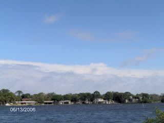
Wednesday I took the sunset pictures, It was such a nice evening with nice west-coast breeze you could smell the salt in the air.(evenings are my favorite time of the day, i don't know what is but it makes me feel Sarene like.

I still have more research to do for the weekend forecast but from what Ive seen already i think the rain chance is low for the coast.Enjoy the pics!! And have a wonderful day!! Jess